


![Carte photo Portrait en buste du peintre Pierre Abattucci, photogr. anon., s.d. [années 1930 ?].<br>](https://collections.heritage.brussels/medias/66/objects/77/F_2025.064_Recto.jpg)


![[Edmond de Schampheleer], Autoportrait ou portrait de Louis de Schampheleer ?, huile sur toile, s.d.](https://collections.heritage.brussels/medias/66/objects/77/857_de_Schampheleer_WEB-momuse2-0762026.jpg)


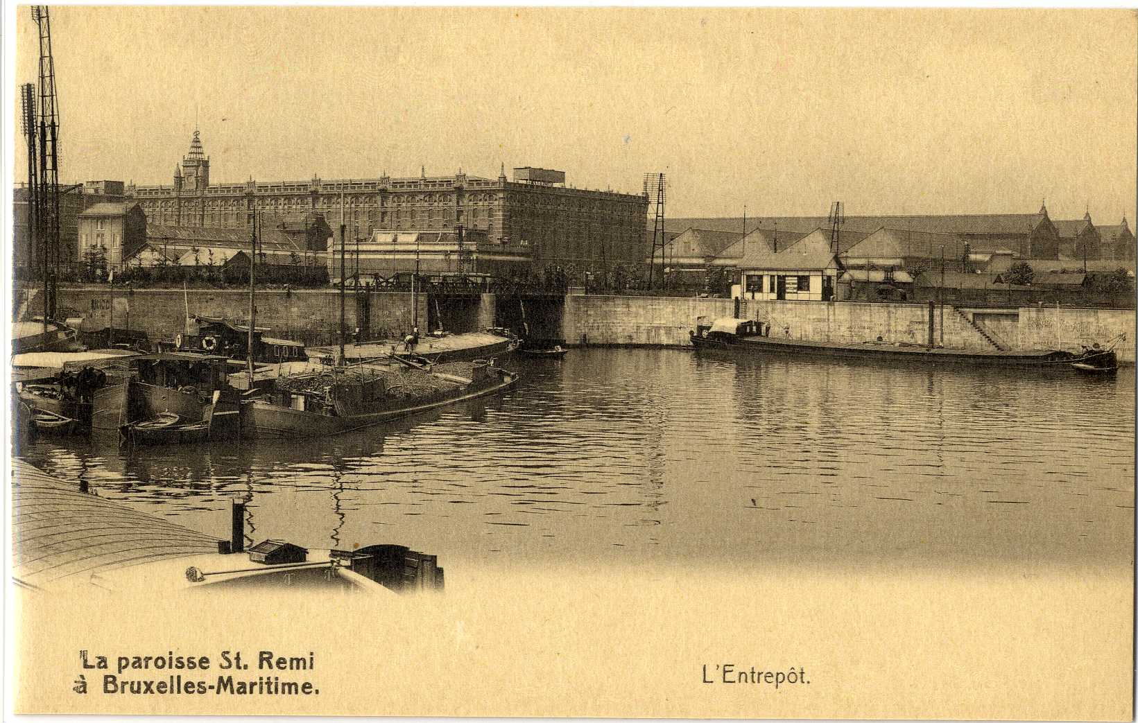
Carte-vue Port de Bruxelles, le Bassin Vergote, l'Entrepôt royal et la Gare de Tour et Taxis, s.éd., s.d.
Datation
s.d.
Inscriptions
"La paroisse St. Remi à Bruxelles-Maritime. L'Entrepôt"
(légende au recto)
Dimensions
hauteur 8.8 cm — largeur 13.8 cm
Numéro d'inventaire
P 2010.0239
Identifiant Urban
84670
Discussion