
![Carte-vue Maison de repos communal [Home Arcadia], façade principale, Rue Ferdinand Elbers (Molenbeek-Saint-Jean), s.éd., s.d.<br>](https://collections.heritage.brussels/medias/66/objects/77/PAKA_2023.007-1.jpg)


![Carte-vue Square Saint-Remy (futur Square des Libérateurs, Molenbeek-Saint-Jean), s.éd., s.d. [vers 1910-1920].<br>](https://collections.heritage.brussels/medias/66/objects/77/SP_2011.0130.jpg)


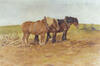
![Carte-vue Soldats allemands à Bruxelles, départ pour Anvers, éd. S.D. (Bruxelles), s.d. [1914].<br>](https://collections.heritage.brussels/medias/66/objects/77/SP_2010.0069.jpg)


![Photo Home communal [Home Arcadia], hall d'entrée, Rue Fernand Elbers (Molenbeek-Saint-Jean), photogr. anon., 1959.](https://collections.heritage.brussels/medias/66/objects/77/SF_2011.0310.jpg)


![Folder publicitaire Contimeter, Compagnie continentale d'appareils de mesure, Rue de Birmingham, 53 (Molenbeek-Saint-Jean), s.d. [vers 1936-1937].](https://collections.heritage.brussels/medias/66/objects/77/C_2023.019_A_001.jpg)

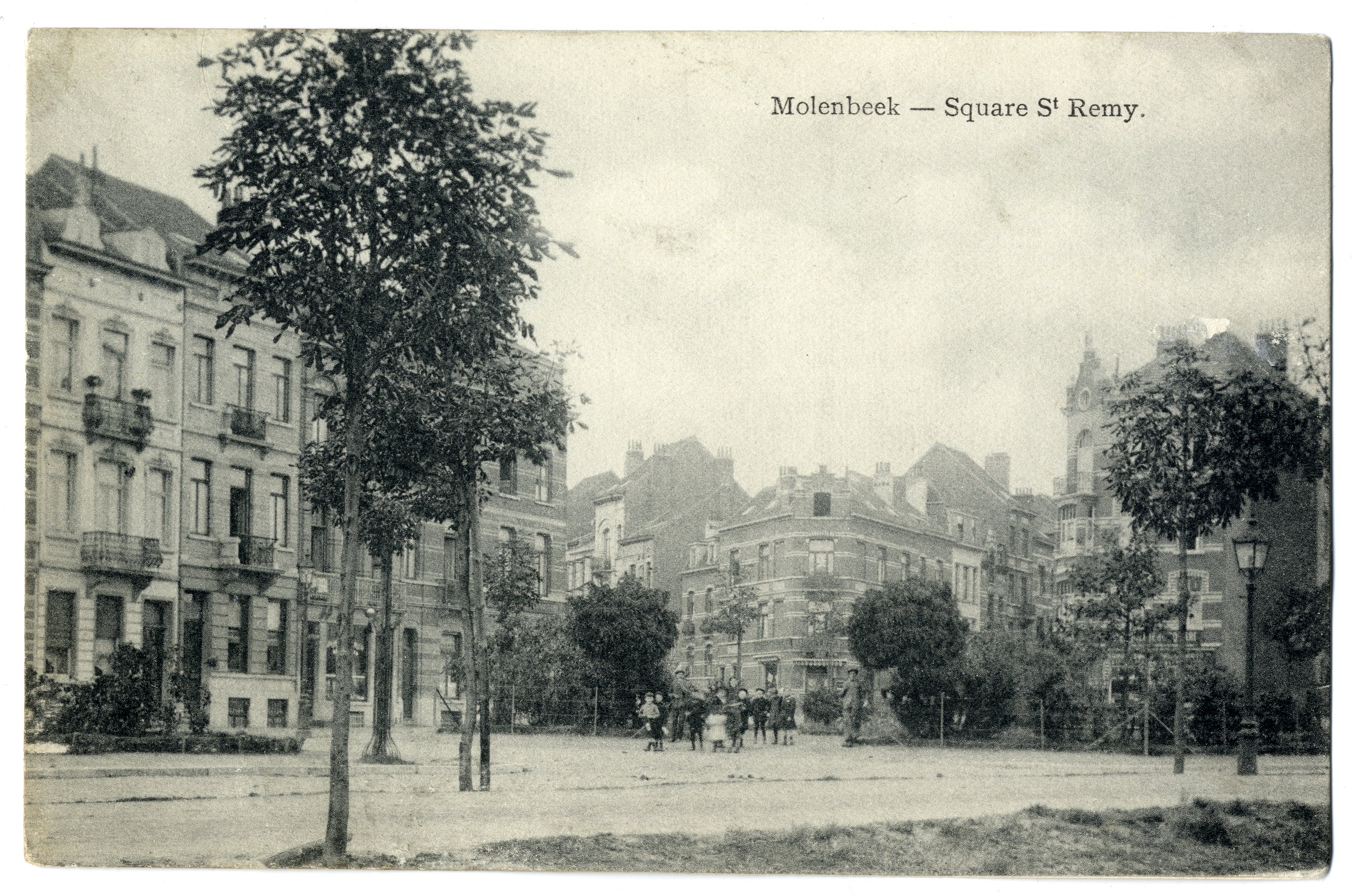
Carte-vue Square Saint-Remy (futur Square des Libérateurs, Molenbeek-Saint-Jean), s.éd., s.d. [vers 1910-1920].
Datation
s.d.
Inscriptions
"Molenbeek - Square St Remy."
(légende au recto)
Dimensions
hauteur 9 cm — largeur 13.8 cm
Numéro d'inventaire
P 2011.0130
Identifiant Urban
84825
Description
Le nom "Square Saint-Remy" est une appellation officieuse qui fait référence à l'église Saint-Remi situé à proximité.
Discussion