


![« Kannibalen » [Kanibalen]<br>](https://collections.heritage.brussels/medias/66/objects/118/12145.jpg)


![Carte-vue Place de la Duchesse de Brabant (Molenbeek-Saint-Jean), Hospice, église Sainte-Barbe et tram, éd. P.I.B. (Molenbeek-Saint-Jean), s.d. [années 1920-1930].](https://collections.heritage.brussels/medias/66/objects/77/PAKA_2021.028.jpg)


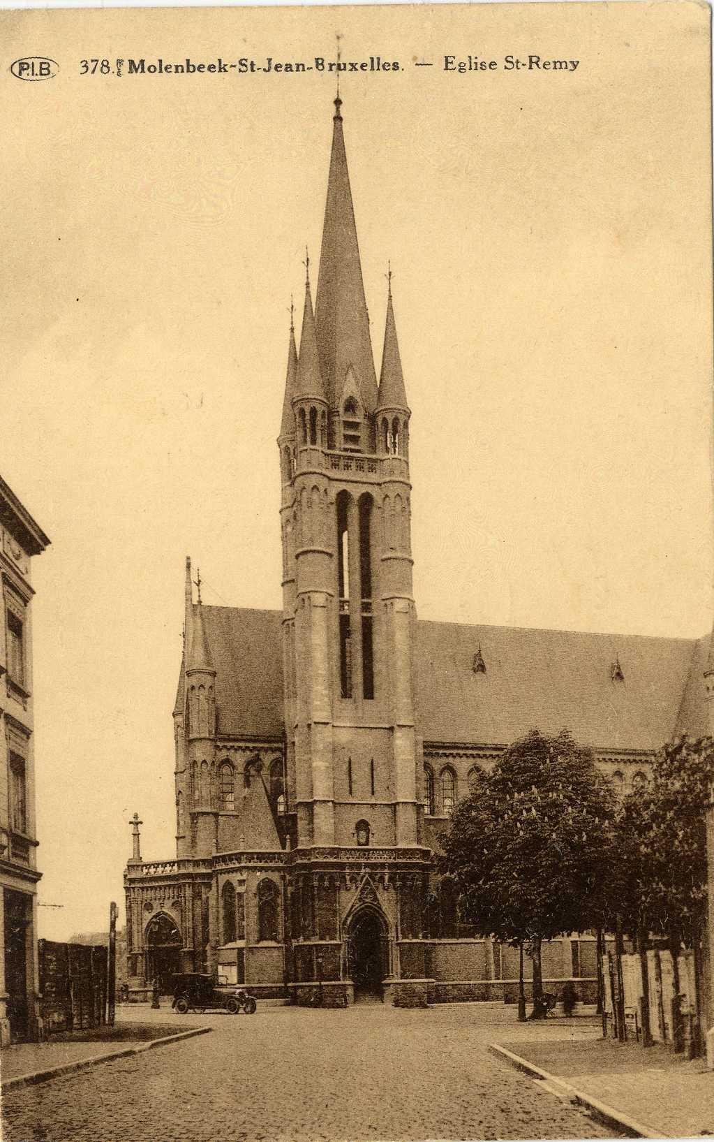
Carte-vue Eglise Saint-Remi vue de la Rue de l'Ourthe (Molenbeek-Saint-Jean), éd. P.I.B. (Molenbeek-Saint-Jean), s.d. [années 1920].
Datation
s.d.
Inscriptions
"Molenbeek-St-Jean-Bruxelles - Eglise St-Remy"
(légende au recto)
Dimensions
hauteur 8.7 cm — largeur 13.7 cm
Numéro d'inventaire
P 2010.0409
Identifiant Urban
85706
Discussion